 |
|
|
|
Going West - Toronto to
Dawson Creek
Page 1 of 6
Previous Next |
|
|
|
|
|
|
|
ONTARIO
|
|
|
|
Riding from Toronto to the
start of the Alaska Hwy (Dawson Creek BC) took 20 days: June 3 - 23
|
| |
 |
I left Toronto on the
morning of June 3, 1978. By June 6 I was traveling up Hwy 129,
which was know at that time as the "Chapleau Route"
of the Trans-Canada Highway. It runs north from Thessalon
(east of Sault Ste Marie on the north shore of Lake Huron), skirts
Chapleau, and then heads west to Wawa.
This is a very lonely road, as it passes through
no towns whatsoever on its 215-mile route.
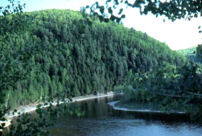
For part of the way, near the southern part of the
road, it travels along the Mississaigi River (seen
here). This is a very picturesque ride, as these pictures
show. |
|
| |
|
|
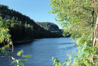
This again is the
Mississaigi River, along Hwy 129.
Beautiful, very hilly country. At times the
road was sandwiched between steep hillsides and the river itself. |
|
| |
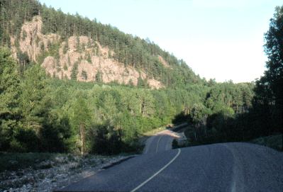 |
A typical stretch of Hwy
129 - this is between Thessalon & Chapleau. |
|
| |
|
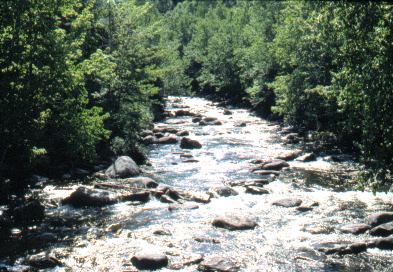
|
Rapid River, a lovely
river that the highway crosses. |
|
| |
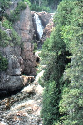 |
About 75 miles up Hwy 129
is Aubrey Falls, shown here.
This is a short walk off the road. These
falls are on the Wenebegon River, which has been blocked by a
large dam here for hydro-electric power generation. However,
water is allowed to flow over the falls during the day. At
night, most of the flow is diverted through the power
generators. Presumably this is so the tourists can still have
a nice view of the falls. However, it doesn't do a lot for the
river life that previously depended on a full flow of water 24 hours
a day. |
|
| |
|
Previous Next
|
|
|
|

