|
|
|
|
Going West - Toronto to
Dawson Creek
Page 3 of 6
Previous Next
ONTARIO |
| |
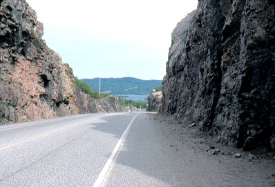 |
The highway along Lake
Superior's north shore is known for its huge deep rock cuts.
Here's one of them west of Pays Plat. |
|
| |
|
|
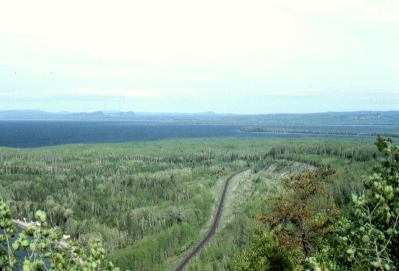
The highway is sometimes
as high as 700 feet above the lake, making for great scenery.
All of the north shore is composed of a very old
mountain range, made up of the ancient granites of the Canadian
Shield.
The first railroad across Canada (the Canadian
Pacific Railroad), seen here below, ran along the north shore.
Of the entire cross-country line it was the most difficult and
expensive section to build, because of the ruggedness of the north
shore terrain.
|
|
| |
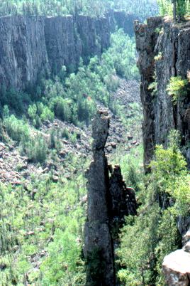 |
East of Thunder Bay lies
the Ouimet Canyon, a few miles off the main highway.
Under some rocks on the canyon floor there are
patches of ice and snow year-round. |
|
| |
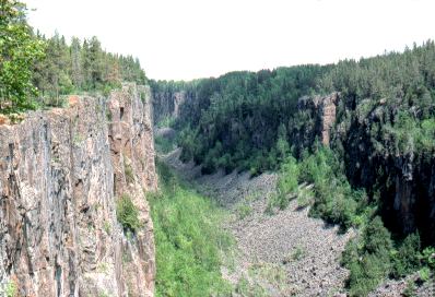 |
Here is another view of Ouimet
Canyon, looking up towards the inner end. The
canyon is about 300 feet deep. |
|
| |
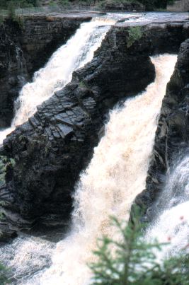
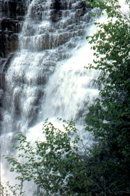
| West of the city of Thunder
Bay, which
is at the western end of Lake Superior, is Kakabeka Falls,
shown here in these two pictures: |
|
|
| |
|
Previous Next
|
|
|
|