|
Going West - Toronto to
Dawson Creek
Page 2 of 6
Previous Next
ONTARIO |
| |
|
When I reached Wawa I turned west to travel along the main
route of the Trans-Canada Highway, which in Ontario runs along the north
shore of Lake Superior and is designated as Hwy 17.
|
| |
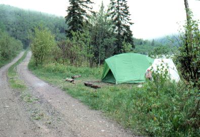 |
West of Wawa, near Marathon,
I followed a small access road off the main highway to look for a
place to camp. Shown here is a
fairly typical camping spot on this trip - often just a spot off the
road somewhere. |
|
| |
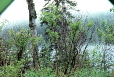 |
It was very cold and wet the next
morning. Here is a view out my tent door, looking across the
small lake I was camped on. My
tent was nice in that both the door and window could be kept almost
wide open even in the rain. |
|
| |
 |
These are icicles near my campsite that
morning -- on June 9th!! Needless
to say, I didn't leave right away that morning. I wanted to wait for
the day to warm up a bit, so I took a hike up to the end of the
small access road I was camped on. It led to the top of a high
nearby hill where a microwave communications tower was located,
giving an awesome far-ranging view for miles around. By
the time I came back down I was ready to leave. |
|
| |
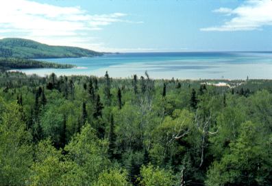 |
Later as I rode west it cleared off,
and beautiful panoramas of Lake Superior opened up beside me as I
rode west. This picture is past
Coldwell (aptly named, I thought!). |
|
| |
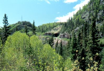 |
This is part of the Little
Pic River valley.
It's still late spring here at the beginning of
June, as can be seen by the leaves that are not yet fully out.
|
|
| |
|
Previous Next
|
|
|

