Moped Trip website

Travels Around the Yukon & Alaska

Page 1 of 18
Previous    Next

Nahanni Range Road (Yukon)


From Watson Lake (Mile 634 on the Alaska Hwy) I turned north on the Robert Campbell Hwy. 
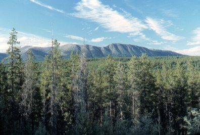
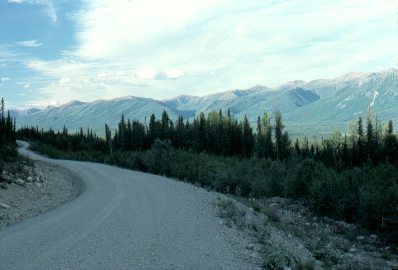
Sixty-seven miles up this highway the Nahanni Range Road branches off. This road leads to Tungsten, which is the location of a tungsten mine just across the Northwest Territories border, 125 miles away. 

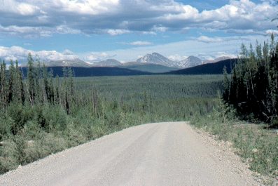
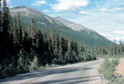
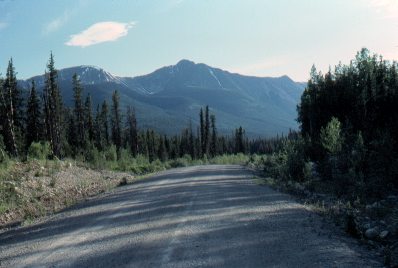
I rode 42 miles up the Nahanni Range Road. I turned around because traveling by moped, I had only a certain amount of time available to me for the entire trip, and there were a lot of other places I wanted to travel to.

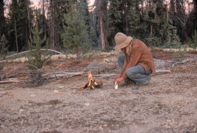
This page covers my trip up and back on the Nahanni Range Road. The next page covers the entire Robert Campbell Hwy.


Mile 3

A very lonely road to travel on: I met very little traffic along here.


Mile 13


Mile 19


Mile 23


Mile 30


Mile 42

Cooking supper from a can - a typical meal on the road.

But a remarkable break from the canned cuisine was coming along shortly! (see below)


Mile 42

Beautiful sunset at my campsite.


The next day (June 30) I was stopped by rain. I turned around and headed south.

Some guys at a nearby mining exploration camp saw me and invited me to stay until the rain stopped, so long as the "boss" didn't stop in for a visit. I ended up being there for 2 days. I ate with the crew - foods that I would never have while traveling: roast beef, potatoes, fresh vegetables, and so on. What luxury!

When I got back to the Robert Campbell Hwy, I continued north toward Ross River.


Previous    Next


The material on this page is copyright © by the original author/artist/photographer. This website is created, maintained & copyright © by Walter Muma
Please respect this copyright and ask permission before using or saving any of the content of this page for any purpose

Thank you for visiting!