|
Stewart-Cassiar Highway
Page 2 of 5
Previous
Next |
| |
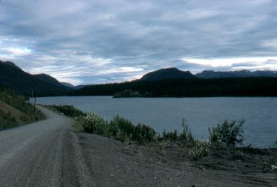 |
North of Iskut.
Getting late in the day. |
|
| |
|
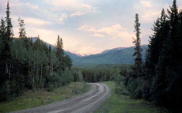
South of Iskut.
Typical Stewart-Cassiar Hwy through this area. For much of its length, the Stewart-Cassiar Hwy
more closely resembles a logging road than a highway.
|
 |
|
| |
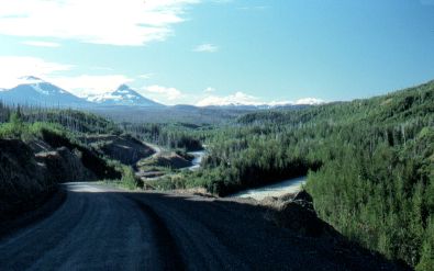 |
Iskut River, with
the road winding beside it. |
|
| |
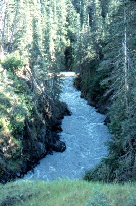 |
Devil Creek. The
milky colour is from ground up rock "flour", released into
glacier melt water. |
|
| |
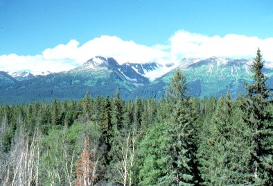 |
The Coastal Range
mountains. These block off much of the precipitation from the
Pacific Ocean. The clouds that are visible on top of the mountains
stayed there all day. |
|
| |
|
Previous
Next
|
|
|

