Page 3 of 15 Previous Next
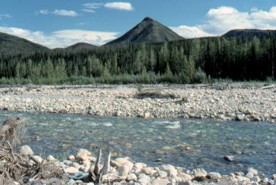
Mile 383
A view of the foothills of the Rocky Mountains, and the Tetsa River.
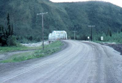
Mile 384
Bridge over the Tetsa River. This is rather typical of the bridges along the Alaska Hwy.
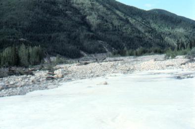
In the foreground is a huge patch of snow left over from the winter! It is June 26!
Still in the valley of the Tetsa River.
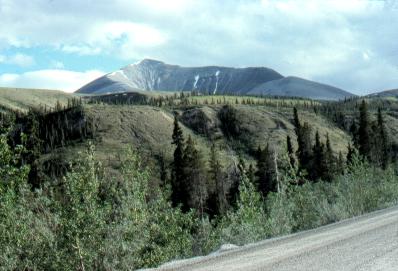
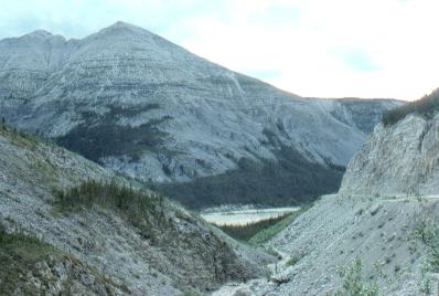
Mile 393
This is the area of Summit Lake and Summit Pass in the Rocky Mountains.
Summit Pass is at an elevation of 4250 feet.
Mile 395
McDonald River Gorge, still in the Rocky Mountains.
The Alaska Hwy is visible on the right side of the photo, going down the side of the gorge.
Spectacular and rugged.
Previous Next
If you enjoyed this website you might also enjoy these other websites in the Wildwood Canada group
Wildwood Survival Stone Age Skills Wildwood Tracking Tracking Quiz Tracker Trail Leatherwood Trail James Bay Road Rupert River Trans-Labrador Hwy Moped Trip Ontario Wildflowers Ontario Trees & Shrubs Ontario Ferns Ontario Grasses World of Mosses Wildwood Canada Mumart Wild Ontario Ontario Trackers Orangeville Trackers Wildwood Trackers Earth Caretaker
The material on this page is copyright © by the original author/artist/photographer. This website is created, maintained & copyright © by Walter Muma Please respect this copyright and ask permission before using or saving any of the content of this page for any purpose
Thank you for visiting!